Collation and definition of physical features of a site required to prepare a Feature Survey Plan including contours. Plans suitable for use of Engineers, Architects & Landscape Architects to prepare their design.
Identifies and locates services required by architects & building designers, including buildings, eaves, windows, ridge, streetscape, adjoining properties, trees, contours and other significant features. Compiled plans are also used for site assessments in town planning applications.

Generation of height and contour surveys to determine the effect of historical flood events over land subject to inundation (LSIO) with new development proposals.

Accurate set out of building corners and/or grid lines for civil, commercial or industrial constructions.

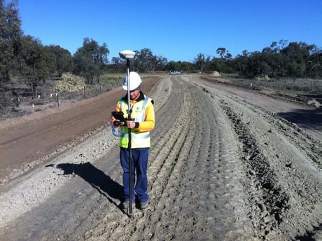
Required by various industries including civil, mining & earth moving contractors.

Required by various industries including civil, mining & earth moving contractors.